- Home
- Missions
- Data
- Communications
- People
- The Earth Observer Newsletter
Recent Imagery
You will be directed to the NASA Visible Earth webpage when you select Images by Mission below, or click on the images at right that are randomly generated to represent four out of all possible topics.
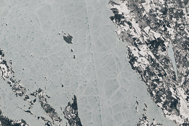
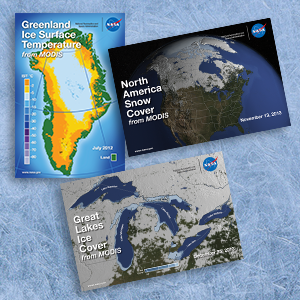
Observing Snow and Ice Changes from Space
Data from Earth-observing satellite instruments like the Moderate Resolution Imaging Spectroradiometer (MODIS) onboard Terra and Aqua can be used to create maps of snow-cover, ice-cover, and ice-surface temperature. To find out how these datasets are being used, download the three new lenticular flip cards that show Great Lakes ice cover, Greenland ice surface temperature, and North America snow cover from MODIS.
Content Link:
http://eospso.nasa.gov/publications/29
Image:
Ordering:
19