- Home
- Missions
- Data
- Communications
- People
- The Earth Observer Newsletter


Recent Imagery
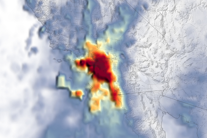
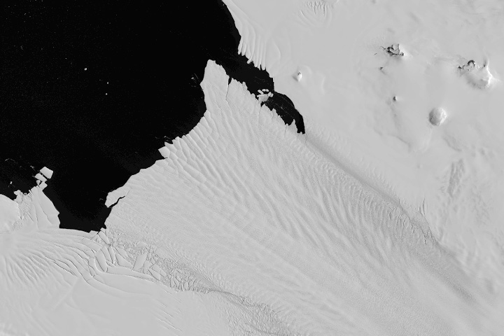
You will be directed to the NASA Visible Earth webpage when you select Images by Mission below, or click on the images at right that are randomly generated to represent four out of all possible topics.
Announcements and Highlights
You are here
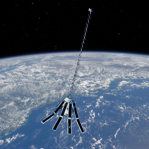
GEOdetic SATellite (GEOSAT)
Status:
Completed
Mission Category:
Historical Missions
Launch Date: March 12, 1985
The U.S. Navy GEOdetic SATellite (GEOSAT) was launched on March 12, 1985, into an 800-km, 108-deg inclination orbit. It carried an altimeter that was capable of measuring the distance from satellite to sea surface with a relative precision of about 5 cm. Following a classified mission for the Navy, GEOSAT’s scientific Exact Repeat Mission (ERM) began on November 8, 1986. During the ERM, GEOSAT was in a 17.05-day repeat orbit. In this orbit, the satellite passed the same point on the Earth every 17.05 days to gather important information on sea level change and ocean variability.
When the ERM ended in January 1990 from failure of both its on-board tape recorders, more than three years of precise altimeter data were available to the scientific community. The studies made using GEOSAT data are numerous and the GEOSAT data set is regarded as a milestone in both satellite oceanography and satellite geodesy.
Key GEOdetic SATellite Facts
| Mission/Portal Page: | http://science.nasa.gov/missions/geosat/ |
|---|---|
| Instruments: |
RA (Radar Altimeter) |
Relevant Science Focus Areas:
- Water and Energy Cycles
Related Applications:
- Coastal Management