- Home
- Missions
- Data
- Communications
- People
- The Earth Observer Newsletter
Recent Imagery
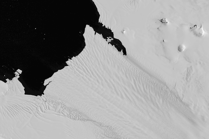
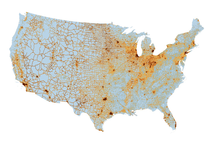
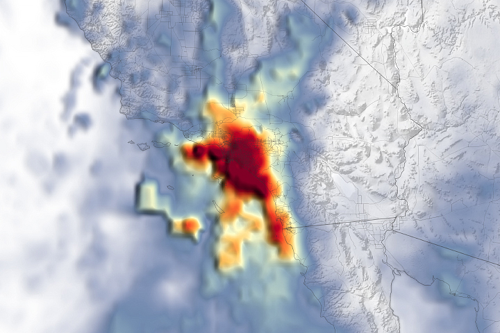
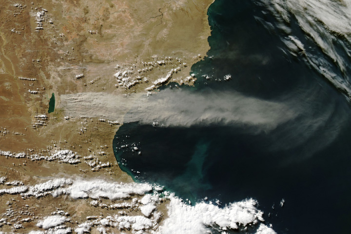
You will be directed to the NASA Visible Earth webpage when you select Images by Mission below, or click on the images at right that are randomly generated to represent four out of all possible topics.
Announcements and Highlights
You are here
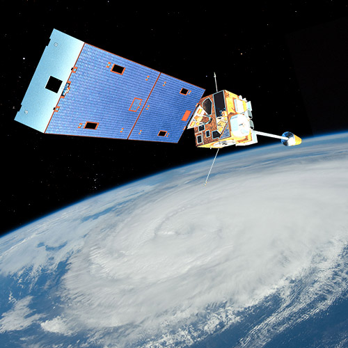
Geostationary Operational Environmental Satellites I-M (GOES I-M)
Status:
Completed
Mission Category:
Inter-Agency Partnerships
Launch Date: April 13, 1994
Launch Location: Cape Canaveral, FL
Actual Completion Date: August 16, 2013
The Geostationary Operational Environmental Satellites I-M (GOES I-M) were the primary element of U.S. weather monitoring and forecast operations and a key component of NOAA's National Weather Service operations and modernization program. Spacecraft and ground-based systems worked together to accomplish the mission of providing weather imagery and quantitative sounding data that form a continuous and reliable stream of environmental information used for weather forecasting and related services.
Designed to operate in a geosynchronous orbit at 35,790 (22,240 statute miles) above the Earth, the advanced GOES I-M satellites continuously viewed the continental United States, neighboring environs of the Pacific and Atlantic Oceans, and Central and South America. The three-axis, body-stabilized spacecraft design enabled the sensors to stare at the Earth and image clouds more frequently, monitor Earth's surface temperature and water vapor fields, and sound the atmosphere for its vertical thermal and vapor structures. The GOES I-M satellites followed the evolution of atmospheric phenomena to ensure real-time coverage of short-lived dynamic events like severe local storms and tropical cyclones. These meteorological events directly affect public safety, property, and economic health and development. The importance of this capability was exemplified during hurricanes Hugo (1989) and Andrew (1992).
The GOES I-M series of satellites provided significant improvements over previous GOES systems in weather imagery and atmospheric sounding information, particularly in the forecasting of life- and property-threatening severe storms.
The GOES I-M satellites introduced two new features. The first feature, flexible scan, offered small-scale area imaging that let meteorologists take pictures of local weather trouble spots. This allowed them to improve short-term forecasts over local areas. The second feature, simultaneous and independent imaging and sounding, is designed to allow weather forecasters to use multiple measurements of weather phenomena to increase the accuracy of their forecasts.
The first of the series, GOES-I, was launched on April 13, 1994. After nearly 8 years of operational service, GOES-I was deorbited on April 1, 2003. The latest satellite in this series, GOES-M, was launched on July 22, 2001 and was decommissioned on August 16, 2013.
Key Geostationary Operational Environmental Satellites I-M Facts
| Mission/Portal Page: | http://science.nasa.gov/missions/goes-m/ |
|---|---|
| Instruments: |
GOES I-M Imager GOES I-M Sounder SXI (Solar X-Ray Imager) |
| Project Scientist(s): |
Dennis Chesters |
Relevant Science Focus Areas:
- Climate Variability and Chang
- Weather
Relevant Science Questions:
- How is the global Earth system changing?
Related Applications:
- Weather Prediction