- Home
- Missions
- Data
- Communications
- People
- The Earth Observer Newsletter
Recent Imagery
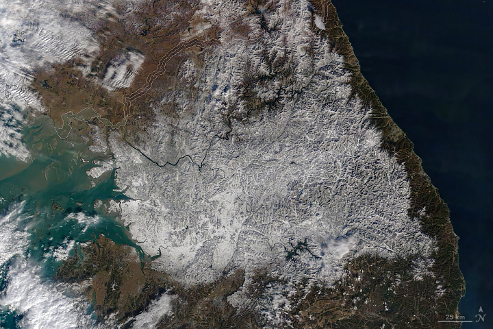
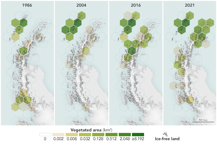
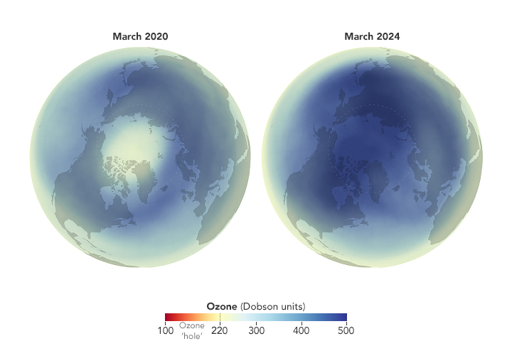
You will be directed to the NASA Visible Earth webpage when you select Images by Mission below, or click on the images at right that are randomly generated to represent four out of all possible topics.
The Earth Observer has a new look! Visit the NEW Earth Observer website.
The Earth Observer: May - Jun, 2015
In This Issue
Click title below to view page
- Editor’s Corner Front Cover
- Feature Articles
- Seeing is Believing: EOSDIS Worldview Helps Lower Barriers for NASA Earth-Observing Data Discovery and Analysis4
- NASA Celebrates 45th Earth Day in the Nation’s Capital9
- Meeting/Workshop Summaries
- The Second Gregory G. Leptoukh Online Giovanni Workshop14
- Landsat Science Team Meeting: Winter 201519
- 2014 GRACE Science Team Meeting24
- ECOSTRESS Science Team Meeting28
- In The News
- NASA Soil Moisture Mission Produces First Global Maps30
- NASA’s ISS-RapidScat Wind Data Proving Valuable for Tropical Cyclones32
- NASA, USGS Begin Work on Landsat 9 to Continue Land Imaging Legacy34
- Mount St. Helens 35 Years After Eruption35
- Regular Features
- NASA Earth Science in the News 36
- NASA Science Mission Directorate – Science Education and Public Outreach Update 38
- Science Calendars 39
Editor’s Corner
Steve Platnick
EOS Senior Project Scientist
The Tropical Rainfall Measuring Mission (TRMM), a joint mission between NASA and JAXA to study rainfall for weather and climate research, was launched in November 1997, with a design lifetime of three years. TRMM officially came to an end on April 8, 2015 (see pmm.nasa.gov/trmm/mission-end); the spacecraft is expected to reenter the Earth’s atmosphere in mid-June. TRMM became a fixture over the global tropics, producing over 17 years of valuable scientific data. TRMM carried five instruments: a three-sensor rainfall suite consisting of the Precipitation Radar (PR), TRMM Microwave Imager (TMI), and Visible and Infrared Scanner (VIRS); and two related instruments, the Lightning Imaging Sensor (LIS) and Clouds and Earth’s Radiant Energy System (CERES). Its unique 17-year dataset of global tropical rainfall and lightning became the space-based standard for...
Read more...

