- Home
- Missions
- Data
- Communications
- People
- The Earth Observer Newsletter
Recent Imagery
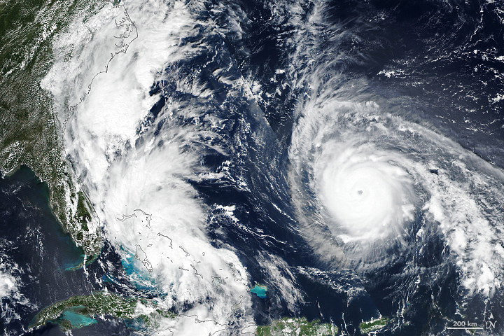
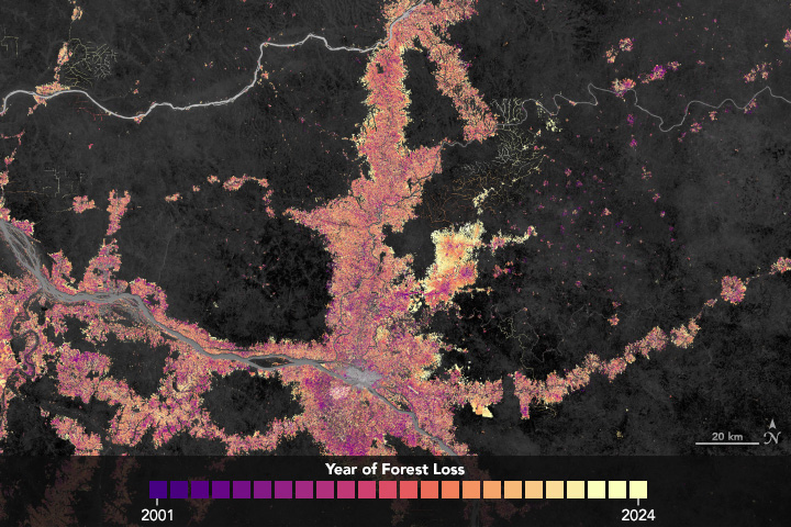
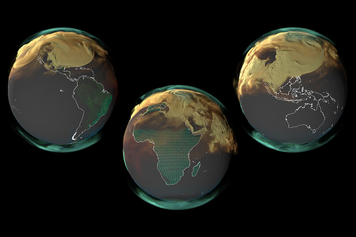
You will be directed to the NASA Visible Earth webpage when you select Images by Mission below, or click on the images at right that are randomly generated to represent four out of all possible topics.
The Earth Observer has a new look! Visit the NEW Earth Observer website.
The Earth Observer: Sep - Oct, 2010
In This Issue
Click title below to view page
- Editor’s Corner Front Cover
- Feature Articles
- Flying High: NASA's Global Hawk and GloPac Mission 4
- NASA Ames DEVELOP Interns: Helping the Western United States Manage Natural Resources One Project at a Time 10
- A New Venture for NASA Earth Science 13
- Blog Log 19
- Meeting/Workshop Summaries
- Continuity of Earth Radiation Budget (CERB) Observations: Post-CERES Requirements 21
- The GOFC-GOLD Fire Implementation Team Workshop Summary 25
- Summary of NASA-NOAA-DoD Joint Center for Satellite Data Assimilation (JCSDA) 8th Workshop on Satellite Data Assimilation 31
- Collaborative Energy and Water Cycle Information Services (CEWIS) Workshop: How to Tame the Flood of Hydrological Data and Datasets 33
- Summary of the 37th Advanced Spaceborne Thermal Emission and Reflection Radiometer (ASTER) Science Team Meeting 37
- 4th Global Precipitation Measurement (GPM) International Ground Validation (GV) Meeting Summary 39
- Advanced Microwave Scanning Radiometer for EOS (AMSR-E) Meeting 43
- In The News
- NASA Embarks on a Hurricane Quest 47
- NASA Assets Provide Orbital View to Study Phoenix Heat Waves 49
- NASA Data Shows Global Reach of Pollution from Russian Fires 51
- Regular Features
- NASA Earth Science in the News 52
- NASA Science Mission Directorate – Science Education and Public Outreach Update 54
- Science Calendars 55
Editor's Corner
Steve Platnick, EOS Senior Project Scientist
At approximately 5 AM Eastern Daylight Time on August 30, NASA’s Orbital Debris Program at Johnson Space Flight Center reported that debris from the Ice, Clouds, and land Elevation Satellite (ICESat) fell to Earth over the Barents Sea near Marmarisk, Russia.
As we reported in our January–February 2010 issue, the last of three lasers in the Geoscience Laser Altimeter (GLAS) on ICESat failed in October 2009—ending science data collection after nearly...
Read more...

