- Home
- Missions
- Data
- Communications
- People
- The Earth Observer Newsletter

Recent Imagery
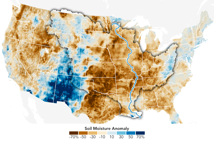
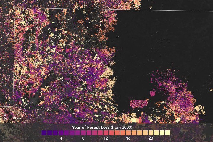
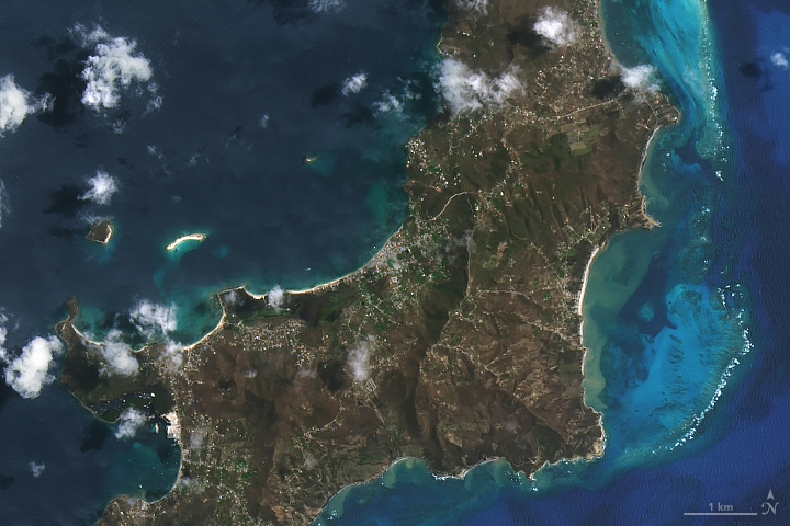
You will be directed to the NASA Visible Earth webpage when you select Images by Mission below, or click on the images at right that are randomly generated to represent four out of all possible topics.
Announcements and Highlights

You are here
Ocean Surface Topography Mission/Jason-2 (2008)
Thumbnail Image:
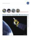
File:
Description:
The Ocean Surface Topography Mission (OSTM)/Jason-2 advances our understanding of ocean circulation and will improve our ability to forecast climate events and measure global sea-level change. The instruments on board are designed to map ocean surface topography to provide information on ocean wave heights, sea surface topography, tides, and water vapor. OSTM/Jason-2 continues the tasks of the Jason-1 mission.
Publication Type: