- Home
- Missions
- Data
- Communications
- People
- The Earth Observer Newsletter
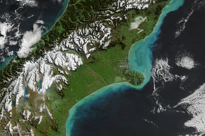
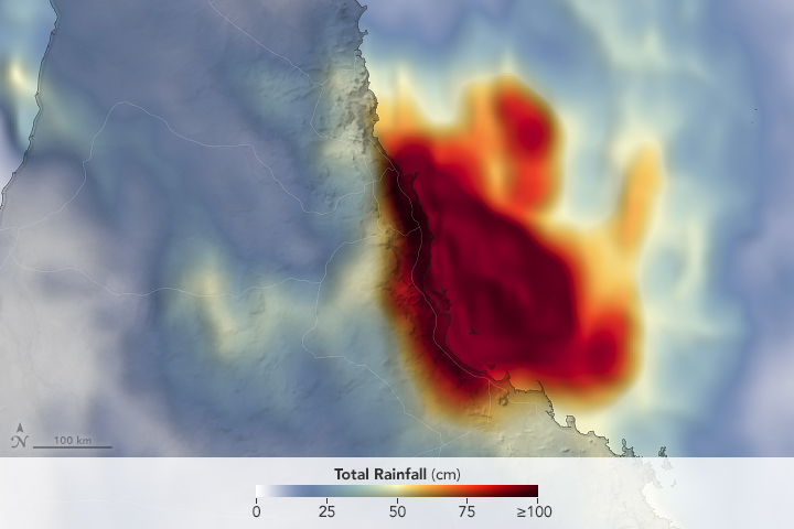

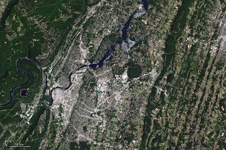
Recent Imagery
You will be directed to the NASA Visible Earth webpage when you select Images by Mission below, or click on the images at right that are randomly generated to represent four out of all possible topics.

Featured Content
 |
Acquiring, Distributing, and Delivering NASA Data for the Benefit of SocietyIn the March-April issue of The Earth Observer we highlight the path of data from satellite to product to distribution. The Earth Observing System Data and Operations System (EDOS) is responsible for acquiring, processing, and delivering instrument data to the ground for many of NASA’s Earth-observing missions, including the EOS Terra, Aqua, and Aura platforms. A growing user community that includes scientists, educators, and federal, state, and local governments employs NASA’s Earth-science data for research and applications on a regular basis—and all of the data are available to the public at no cost. |
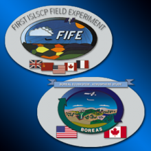 |
Recollections of FIFE and BOREASField campaigns are a critical component of NASA’s Earth Observing System (EOS). Such experiments are designed to test and evaluate various scientific hypothesis governing interactions between the Earth’s surface and atmosphere, and form the basis of algorithms used in computer models that simulate Earth’s weather and climate. The first field campaign to include the coupled biosphere–atmosphere as part of a coordinated measurement strategy was the First International Satellite Land Surface Climatology Project (ISLSCP) Field Experiment [FIFE], with deployments in 1987 and 1989. Even as scientists analyzed data collected during FIFE, plans were underway for the joint U.S.-Canadian Boreal Ecosystem–Atmosphere Study (BOREAS), with field deployments in 1994 and 1996. To learn more about FIFE and BOREAS and how they "changed the world," read the January-February issue of The Earth Observer. |
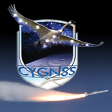 |
Eight Microsatellites, One Mission: CYGNSSThe Cyclone Global Navigation Satellite System (CYGNSS) launched into orbit at 8:37 AM EST, December 15, 2016, aboard an Orbital ATK air-launched Pegasus XL launch vehicle. The rocket was dropped and launched from Orbital’s Stargazer L-1011 aircraft, which took off from Cape Canaveral Air Force Station in Florida, over the Atlantic Ocean, off the coast of central Florida. CYGNSS is NASA’s first satellite mission to measure ocean surface winds in the inner core of tropical cyclones, including regions beneath the eyewall and the intense inner rain-bands that could not previously be measured from space. These measurements will help scientists to obtain a better understanding of what causes variations in tropical cyclone intensity, thereby improving our ability to forecast tropical cyclones such as Hurricane Katrina. To learn more about CYGNSS, read "Eight Microsatellites, One Misson: CYGNSS" in the November-December issue of The Earth Observer. |
 |
2016 NASA Booth Program at AGUNASA Science has a story to tell and, at AGU, you can be part of it. This year at our exhibit we will be telling stories about our Earth science, planetary science, and heliophysics endeavors via dynamic Hyperwall presentations, flash talks, and hands-on demos. In addition, the booth will also feature a variety of individual stations where you can talk face-to-face with NASA subject-matter experts. We hope you join us! |
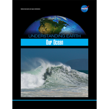 |
Understanding Earth: Our OceanViewed from space, Earth appears as a blue marble, as approximately 70% of Earth’s surface is covered by ocean water. The vast ocean holds roughly 97% of the planet’s water and represents 99% of the living space on Earth. NASA has been observing Earth’s ocean from space for more than 38 years, beginning with the launch of the first civilian oceanographic satellite, Seasat, on January 28, 1978. This brochure explains how NASA has the ability to observe and detect changes in the ocean (and on Earth as a whole) on a variety of spatial and temporal scales—ultimately positioning the Agency to improve life on our planet. |
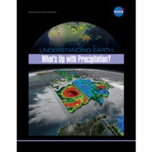 |
Understanding Earth: What's Up with Precipitation?Precipitation is any product of the condensation of atmospheric water vapor that falls quickly from a cloud. The main forms of precipitation include drizzle, rain, sleet, snow, grapple (soft hail or snow pellets), and hail. Today, scientists can measure precipitation directly—using ground-based instruments such as rain gauges—or indirectly—using remote sensing techniques (e.g., from radar systems, aircraft, and Earth-observing satellites). This brochure describes how satellite observations—often combined with other measurements taken on the ground or from aircraft—provide frequent estimates of precipitation at a global scale. Among other uses, precipitation datasets from NASA are used for forecasting tropical cyclones; monitoring soil moisture conditions and freshwater availability; and predicting flood and drought conditions, landslides, crop yields, and water-related illnesses. |
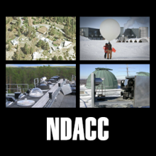 |
The Network for the Detection of Atmospheric Composition Change: 25 Years Old and Going StrongThe Network for the Detection of Atmospheric Composition Change (NDACC) has been a significant contributor of in situ and ground-based observations of the upper troposphere and stratosphere for the past quarter-century. It is an international research and measurement program composed of more than 70 high-quality, remote-sensing research stations. The discovery of the Antarctic “ozone hole” in 1985 provided the impetus for the development of the observational network. To learn more about NDACC’s history, its current configuration, some of the key results it has achieved, and plans for the future please see the feature article on page 4 of the September-October issue of The Earth Observer. |
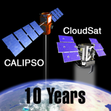 |
CloudSat and CALIPSO Celebrate Ten Years of Observing Clouds and AerosolsIn the July-August issue of The Earth Observer, we focus particular attention on two A-Train missions: CloudSat and CALIPSO. Both missions celebrated the tenth anniversary of their co-manifested launch on April 28. Like many of NASA’s Earth-observing satellites, CloudSat and CALIPSO have long exceeded their prime mission lifetimes and are in extended operations. While they have each had to overcome technical challenges over the past ten years, both missions continue to collect unique scientific data that improve our understanding of the roles clouds and aerosols play in Earth’s climate and weather. |
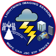 |
LIS on ISS: Expanded Global Coverage and Enhanced ApplicationsLightning is intimately tied to thunderstorm microphysics and dynamics and it can be used to remotely probe the developmental state, severity, and evolution of thunderstorms and thunderstorm complexes, and can also serve as a valuable indicator for monitoring long-term climate change. To support these useful measurements, NASA’s Marshall Space Flight Center and other science, academic, and commercial partners pioneered the observing technology that has made global-scale lightning detection from space a reality. On page 4 of the May-June issue of The Earth Observer, we provide an overview of NASA’s LIS mission. |
 |
A-Train Symposium, April 18-21, 2017Registration is now open for the 3rd International A-Train Symposium, to be held in Pasadena, California, April 18-21, 2017. For over a decade, the A-Train Constellation has successfully collected a uniquely comprehensive environmental dataset. The symposium will be an opportunity to learn and exchange information about A-Train scientific breakthroughs and to highlight how Earth science has benefitted from the long, continuous, multi-sensor dataset. Please visit https://atrain2017.org for more information. |