- Home
- Missions
- Data
- Communications
- People
- The Earth Observer Newsletter
Recent Imagery
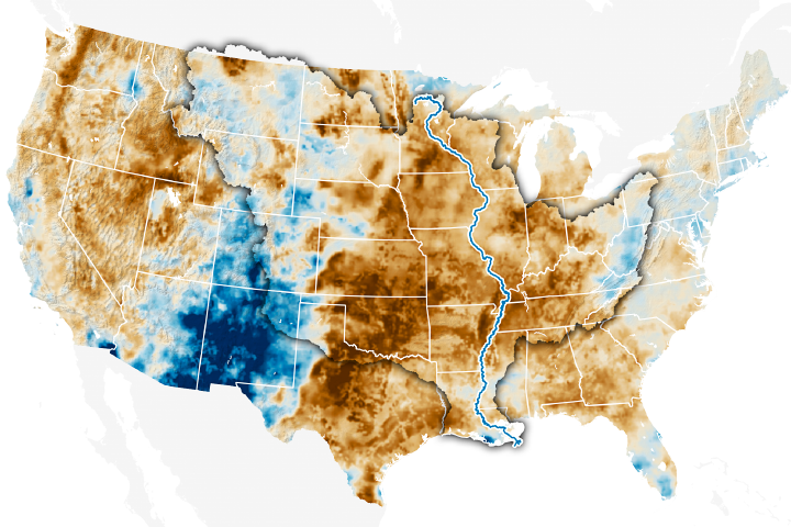
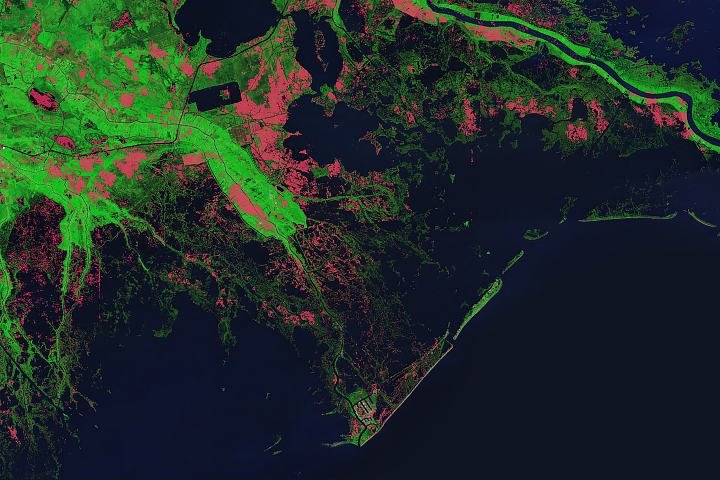
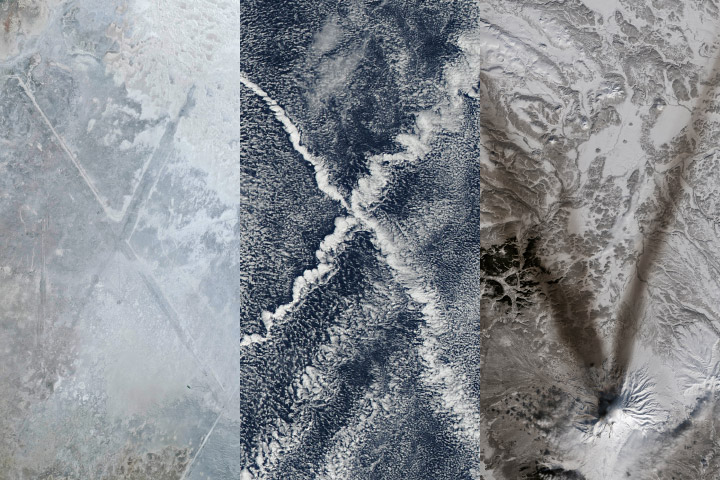
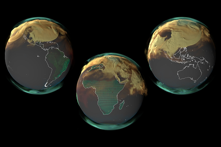
You will be directed to the NASA Visible Earth webpage when you select Images by Mission below, or click on the images at right that are randomly generated to represent four out of all possible topics.
Aqua AIRS Version 6 Level 3 Data Release
Aqua AIRS Version 6 Level 3 Data Release
Submitted by Heather Hanson on Wed, 2013-05-08 09:28
The Atmospheric Infrared Sounder (AIRS) Project and NASA’s Goddard Earth Sciences Data and Information Services Center (GES DISC) are pleased to announce the availability of Aqua AIRS Version 6 Level 3 data. The AIRS Version 6 processing code has a number of improvements in addition to the Level 2 improvements from which it is built.
Significant changes include:
• Level 3 support products, which contain profile data at 100 vertical levels;
• a “TqJoint” grid, which contains gridded data for a common set of temperature and water vapor observations; and
• water vapor and trace gas products that are now reported both as layer and level quantities.
For additional information and to access to these data, visit: disc.sci.gsfc.nasa.gov/datareleases/aqua-airs-version-6-level-3.