- Home
- Missions
- Data
- Communications
- People
- The Earth Observer Newsletter

Recent Imagery
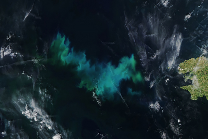
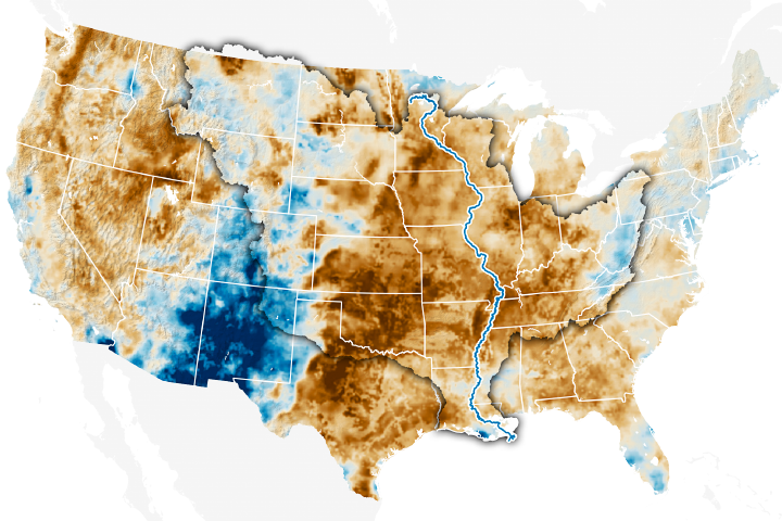
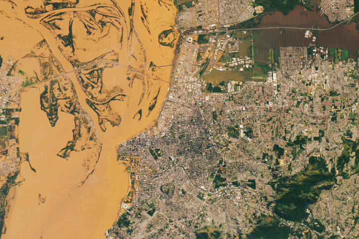
You will be directed to the NASA Visible Earth webpage when you select Images by Mission below, or click on the images at right that are randomly generated to represent four out of all possible topics.
Landsat Tree Cover Data Release
Landsat Tree Cover Data Release
Submitted by Heather Hanson on Tue, 2013-07-02 14:15
The Global Land Cover Facility (GLCF), based at the University of Maryland, College Park, is pleased to announce the release of the Landsat Tree Cover Continuous Fields dataset. The GLCF is funded by NASA’s Making Earth System Data Records for Use in Research Environments (MEaSUREs).
The dataset’s tree-cover layers contain estimates of the percentage of horizontal ground in each 30-m (~98-ft) pixel covered by woody vegetation greater than 5 m (~16 ft) in height. The data represent two nominal epochs, 2000 and 2005, compiled from the NASA/U.S. Geological Survey (USGS), Global Land Survey (GLS) collection of Landsat data. The product is derived from all seven bands of Landsat-5 Thematic Mapper (TM) and/or Landsat-7 Enhanced Thematic Mapper Plus (ETM+), depending on the GLS image selection.
The continuous classification scheme of the data product enables better depiction of land-cover gradients than traditional discrete classification schemes. Importantly for detection and monitoring of forest changes (e.g., deforestation and degradation), tree cover provides a measurable attribute with which to define forest cover and its changes. Changes in tree cover over time can be used to monitor and retrieve site-specific histories of forest change.
Please note that this dataset is version 0—i.e., a beta release.
We are requesting feedback for any issues that you might come across. To report issues send an email to the GLCF team at glcf@umd.edu.
For more information and to download the dataset, visit: landcover.org/data/landsatTreecover.