- Home
- Missions
- Data
- Communications
- People
- The Earth Observer Newsletter
Recent Imagery
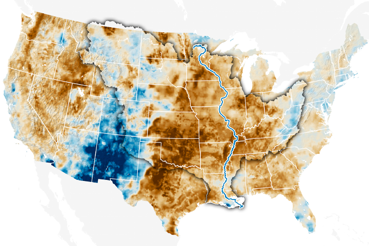
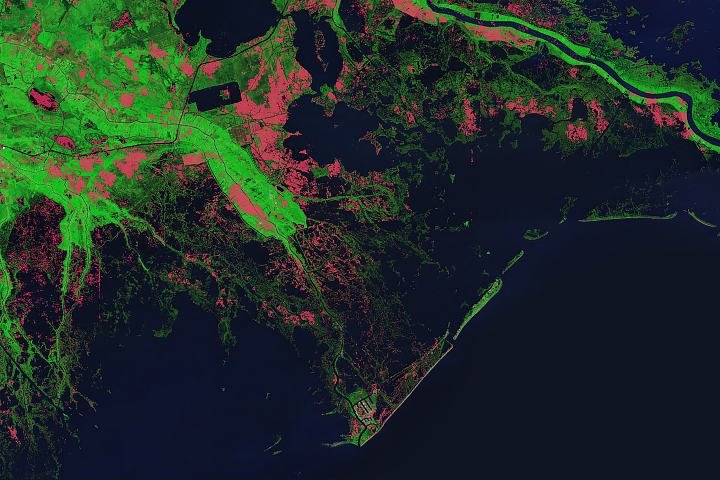
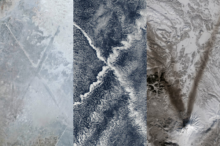
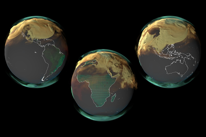
You will be directed to the NASA Visible Earth webpage when you select Images by Mission below, or click on the images at right that are randomly generated to represent four out of all possible topics.
NASA Water Vapor Project–MEaSUREs Dataset Release
NASA Water Vapor Project–MEaSUREs Dataset Release
Submitted by Heather Hanson on Wed, 2013-05-08 09:26
The Atmospheric Science Data Center (ASDC) at NASA’s Langley Research Center, in collaboration with the NASA Water Vapor Project—Making Earth System Data Records for Use in Research Environments (MEaSUREs) [NVAP-M] team, announce the release the following datasets:
NVAP-M: Climate
NVAP-M: Weather
NVAP-M: Ocean
The following are distinguishing features of the NVAP-M dataset:
• Global (land and ocean) data coverage;
• consistent, intercalibrated data sources;
• consistent, peer-reviewed algorithms;
• new data sources; and
• a three-tiered production format suitable for a variety of users.
NVAP-M water vapor datasets comprise a combination of: retrievals from the Atmospheric Infrared Sounder (AIRS) retrievals and the Special Sensor Microwave/Imager (SSM/I), radiosonde observations, High Resolution Infrared Sounder (HIRS) profiles, and Global Positioning System (GPS) observations. These datasets span 22 years (1988–2009) and contain total and precipitable water vapor from four layers. The MEaSURES program creates stable, community-accepted Earth System Data Records (ESDRs) for a variety of geophysical time series, and is responsible for reanalysis and extension of NVAP-M data. The datasets can be accessed from the ASDC at eosweb.larc.nasa.gov/content/nvap-m.