- Home
- Missions
- Data
- Communications
- People
- The Earth Observer Newsletter

Recent Imagery
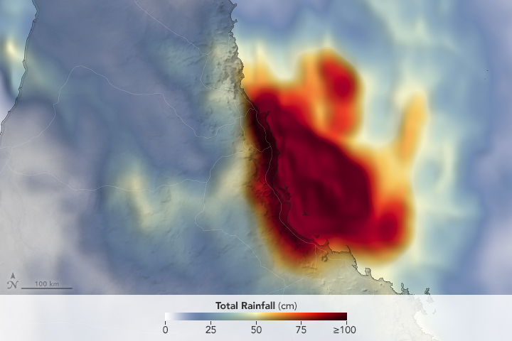
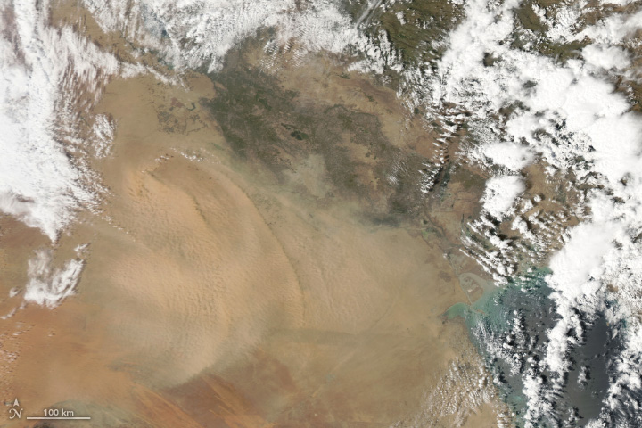
You will be directed to the NASA Visible Earth webpage when you select Images by Mission below, or click on the images at right that are randomly generated to represent four out of all possible topics.

You are here
Mission Brochures
NASA's Earth Observing System provides a variety of materials available for download. Feel free to choose a category below:
- Brochures
- Postcards
- Posters
- Science Writers’ Guide
- Mission Brochures
- Fact Sheets
- Calendars
- Booklets
- Lithographs
- Reference and Data Products Handbooks
- iBooks
- Activities
 |
CloudSat and CALIPSO Informational brochure on NASA’s CloudSat and CALIPSO satellites. This is related to the following mission(s): This publication appears in: |
 |
Aura Aura’s four instruments study the atmosphere’s chemistry and dynamics, and enable us to investigate questions about ozone trends, air quality changes and their linkage to climate change. Aura’s measurements provide accurate data for predictive models and useful information for local and national agency decision support systems. Aura was the third in a series of large Earth observing platforms to be flown by the National Aeronautics and Space Administration (NASA) with international contributions. Aura along with EOS Terra (launched December, 1999) and Aqua (launched May, 2002) provide an unprecedented view of the global Earth system. This is related to the following mission(s): This publication appears in: |
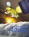 |
Aqua Aqua is a satellite mission aimed at improving our understanding of the Earth/atmosphere system, along with changes occurring within it, through the monitoring and analysis of dozens of Earth variables from a space-based platform orbiting the Earth. Aqua is part of the Earth Observing System (EOS), an international Earth-focused satellite program centered at the United States (U.S.) National Aeronautics and Space Administration (NASA). This is related to the following mission(s): This publication appears in: |
 |
Gravity Recovery And Climate Experiment (GRACE) While gravity is much weaker than other basic forces in nature, such as magnetism and electricity, its effects are ubiquitous and dramatic. Gravity controls everything from the motion of the ocean tides to the expansion of the entire Universe. To learn more about the mysteries of gravity, twin satellites named GRACE, short for the Gravity Recovery and Climate Experiment, are being used to make detailed measurements of Earth’s gravity field. This is related to the following mission(s): This publication appears in: |
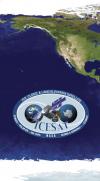 |
ICESat The primary goal of ICESat is to quantify ice sheet mass balance and understand how changes in the Earth’s atmosphere and climate affect the polar ice masses and global sea level. ICESat also measures global distributions of clouds and aerosols for studies of their effects on atmospheric processes and global change, as well as land topography, sea ice, and vegetation cover. This is related to the following mission(s): This publication appears in: |
 |
Moderate-Resolution Imaging Spectroradiometer (MODIS) The first EOS satellite, called Terra, was launched on December 18, 1999, carrying five remote sensors. The most comprehensive EOS sensor is MODIS, the Moderate Resolution Imaging Spectroradiometer. MODIS offers a unique combination of features: it detects a wide spectral range of electromagnetic energy; it takes measurements at three spatial resolutions (levels of detail); it takes measurements all day, every day; and it has a wide field of view. This is related to the following mission(s): This publication appears in: |
 |
AIRS/AMSU/HSB The Atmospheric Infrared Sounder (AIRS), together with the Advanced Microwave Sounding Unit (AMSU) and the Humidity Sounder for Brazil (HSB) (Note: The HSB instrument failed after reaching orbit.) on the Aqua mission, represents the most advanced sounding system ever deployed in space. The system is capable of measuring the atmospheric temperature in the troposphere with radiosonde accuracies of 1 K over 1 km-thick layers under both clear and cloudy conditions, while the accuracy of the derived moisture profiles exceed that obtained by radiosondes. This is related to the following mission(s): This publication appears in: |
 |
Advanced Microwave Scanning Radiometer for EOS (AMSR-E) How clouds, water vapor, precipitation, sea ice, soil moisture, and snow cover respond to increasing atmospheric levels of greenhouse gases is still unclear, and they all have the potential to either enhance or suppress global warming. The same can be said for their influence on natural climate fluctuations. The data that AMSR-E provides is being utilized by climate researchers to develop a better understanding of climate change. This is related to the following mission(s): This publication appears in: |
 |
Clouds and the Earth's Radiant Energy System (CERES) NASA’s Earth Observing System (EOS) is part of an international program for studying the Earth from space using a multiple-instrument, multiple-satellite approach. This EOS program is critical for improving our scientific understanding of ongoing natural and human-induced global climate change and providing a sound scientific basis for developing global environmental policies. This is related to the following mission(s): This publication appears in: |
 |
Measurements Of Pollution In The Troposphere (MOPITT ) Life on Earth depends on the atmosphere. It provides oxygen for respiration, transports gases around the globe and protects life from harmful ultraviolet radiation. With a human population of over 6 billion, the quality of this life-sustaining envelope is vital to our continued survival. The Canadian Space Agency’s Measurements Of Pollution In The Troposphere ( MOPITT ) instrument is designed to monitor from space the health of this thin layer of atmosphere, and give an early warning of unexpected changes. This is related to the following mission(s): This publication appears in: |