- Home
- Missions
- Data
- Communications
- People
- The Earth Observer Newsletter

Recent Imagery
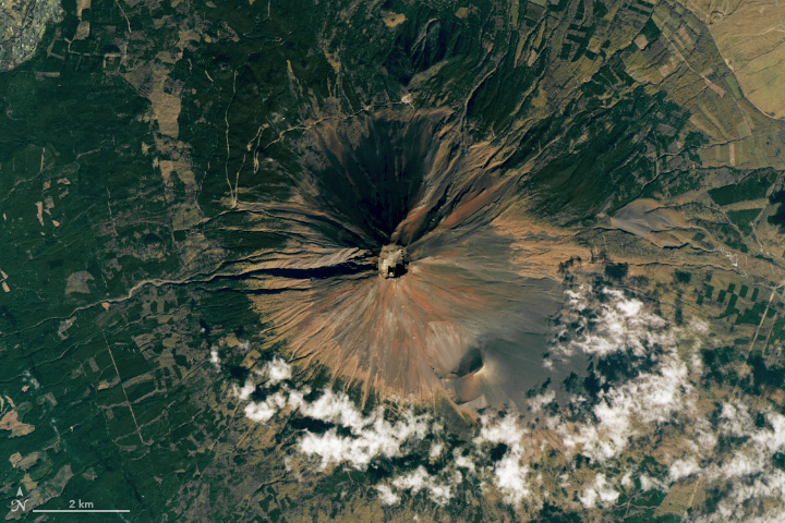
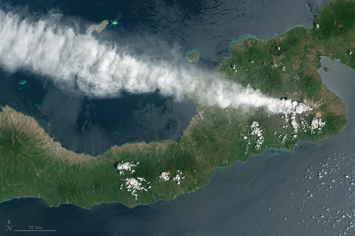
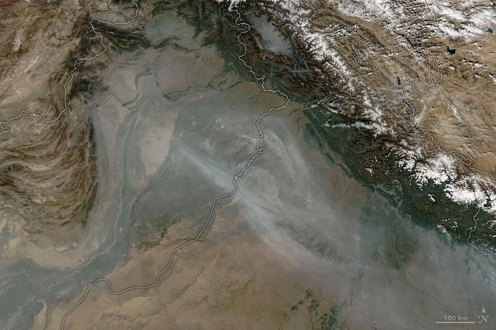
You will be directed to the NASA Visible Earth webpage when you select Images by Mission below, or click on the images at right that are randomly generated to represent four out of all possible topics.

You are here
Science Communication Material
NASA's Earth Observing System provides a variety of materials available for download. Feel free to choose a category below:
- Brochures
- Postcards
- Posters
- Science Writers’ Guide
- Mission Brochures
- Fact Sheets
- Calendars
- Booklets
- Lithographs
- Reference and Data Products Handbooks
- iBooks
- Activities
 |
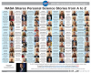
2018 Centennial Narratives Project Booklet The AGU Centennial Narratives Project is an opportunity for individuals to share their personal Earth and space science stories. To search the narratives archive, visit: archive.storycorps.org and search keyword NASA Or, visit: https://centennial.agu.org/earth-space-science-history/agu-narratives-library NASA was honored to be part of such a tremendous effort to amplify the accomplishments of science over the last 100 years. This publication appears in: |
 |
2018 Centennial Narratives Project Poster The AGU Centennial Narratives Project is an opportunity for individuals to share their personal Earth and space science stories. To search the narratives archive, visit: archive.storycorps.org and search keyword NASA Or, visit: https://centennial.agu.org/earth-space-science-history/agu-narratives-library NASA was honored to be part of such a tremendous effort to amplify the accomplishments of science over the last 100 years. This publication appears in: |
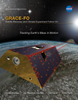 |
GRACE-FO Mission Brochure Changes in how mass is distributed within and between Earth’s atmosphere, oceans, groundwater and ice sheets are fundamental indicators of the large-scale dynamics of the planet. For more than 15 years, NASA’s Gravity Recovery and Climate Experiment (GRACE) mission monitored mass changes every month with far-reaching impact on our understanding of the Earth system and how it is evolving. GRACE Follow-On (GRACE-FO) continues the legacy of GRACE, tracking Earth’s water movement and surface mass changes across the planet. Monitoring changes in ice sheets and glaciers, near-surface and underground water storage, the amount of water in large lakes and rivers, as well as changes in sea level and ocean currents provides an integrated global view of how Earth’s water cycle and energy balance are evolving—measurements that have important applications for everyday life. This is related to the following mission(s): This publication appears in: |
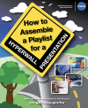 |
How To: Hyperwall Playlist NASA’s Hyperwall is a video wall capable of displaying multiple high-definition data visualizations and/or images simultaneously across an arrangement of screens. Functioning as a key component at many NASA exhibits, the hyperwall is used to help explain phenomena, ideas, or examples of world change. These six steps will help you assemble a Hyperwall playlist, i.e., a list of media files, in chronological order, that you’d like to display on the Hyperwall. This publication appears in: |
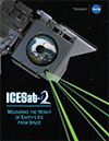 |
ICESat-2 Mission Brochure ICESat-2 will take measurements across the globe and provide an incredibly precise height map of our planet in unprecedented detail. Its focus will be on Earth’s poles, including the Arctic region where temperatures are rising faster than at other latitudes. Read more about how this innovative spacecraft will help scientists check on the health of Earth's frozen regions. This is related to the following mission(s):
This publication appears in:
|
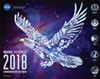 |
NASA Science 2018 Commemorative Calendar NASA Science 2018 Commemorative Calendar This publication appears in: |
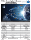 |
NASA's Operating and Future Earth Science Satellite Missions NASA's operating and future Earth science satellite missions as of May 2018. This publication appears in: |
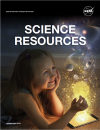 |
Science Resources (April 2018) This booklet contains weblinks to NASA science resources. This publication appears in: |
 |
Seadler 6.7.18 - ABoVE Infographic - FINAL Infographic 1 of 7 in a series for Jack Kaye and Bruce Tagg that show the value of airborne science to Earth science research. Each infographic covers a different airborne campaign and provides a few things we wouldn't have known without its aircraft data. This publication appears in: |
 |
Seadler 6.7.18 - SEAC4RS Infographic - FINAL Infographic 2 of 7 in a series for Jack Kaye and Bruce Tagg that show the value of airborne science to Earth science research. Each infographic covers a different airborne campaign and provides a few things we wouldn't have known without its aircraft data. This publication appears in: |